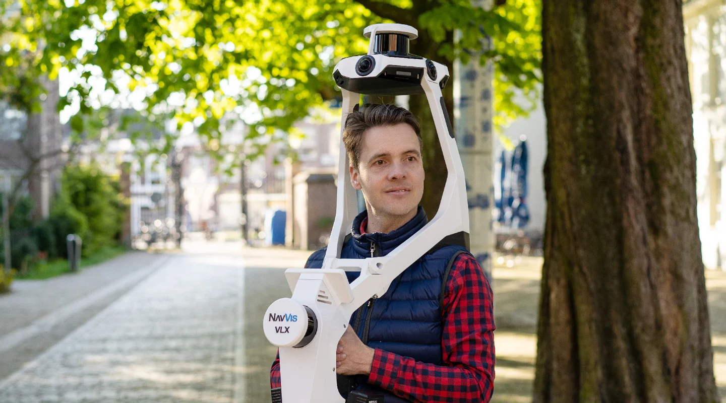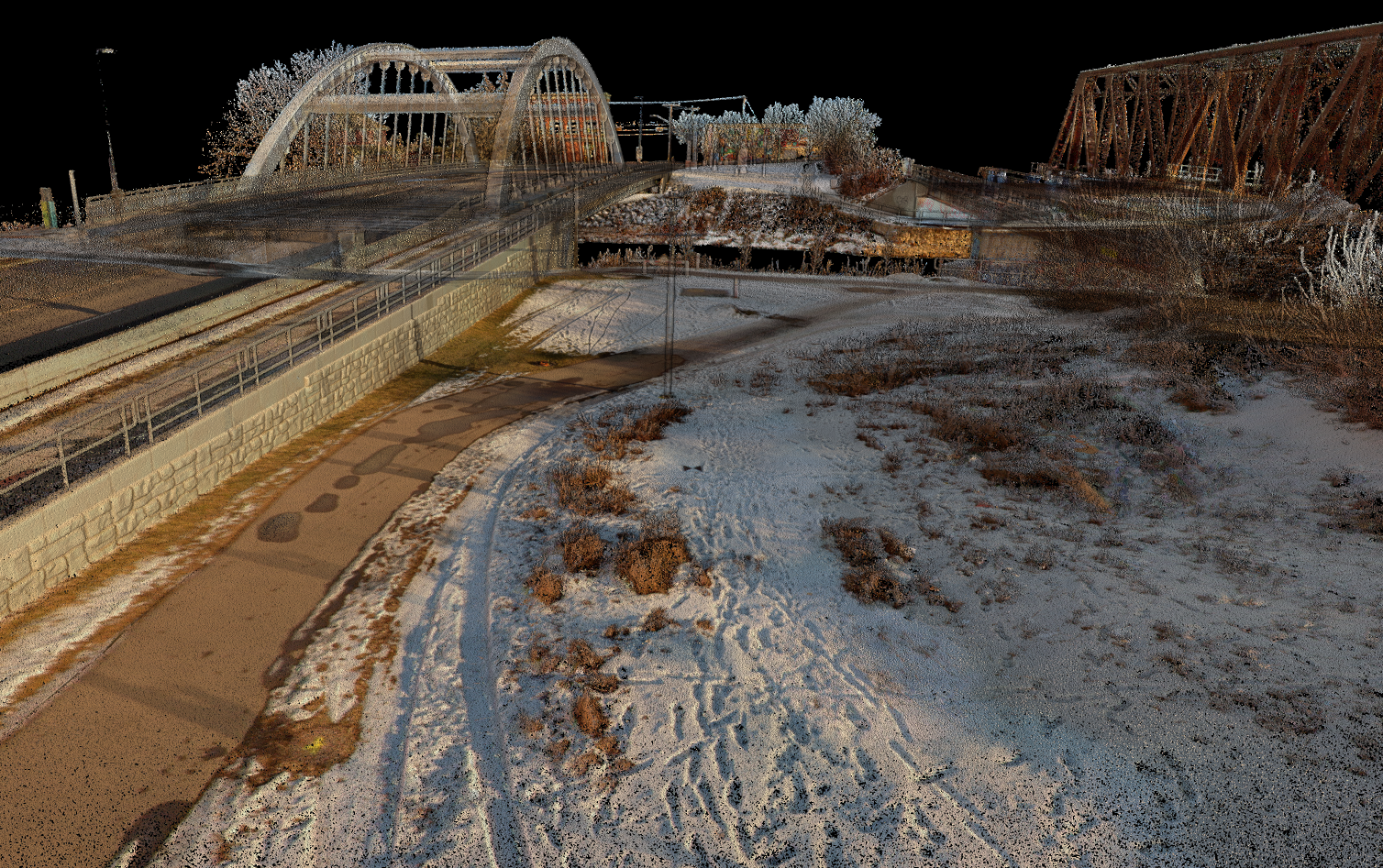
Edmonton, Alta (January 12, 2024) – We’re excited to unveil our new geospatial technology – the NavVis VLX 3. This wearable mobile mapper featuring the best SLAM (Simultaneous Localization and Mapping) technology has advantages over traditional stationary Terrestrial Scanners and is set to bring efficiency and precision when capturing 3D Geospatial data for our clients across North America. Here’s why:
- Highly accurate and precise data: We believe in accuracy and quality data. At the heart of the VLX 3 is the best cutting-edge SLAM technology available on the market. This ensures the capture of highly accurate point cloud and imagery.
- Built for complex environments: Designed for versatility, the VLX 3 is perfect for complex indoor and outdoor environments. Whether it’s for urban planning, infrastructure projects, BIM, digital twins or traditional mapping and survey.
- Enhanced efficiency in collecting geospatial data: Time is of the essence. The VLX 3 enhances operational efficiency, enabling faster data collection without compromising on quality. Cover more ground and get detailed results, all in record time.
- Freedom and flexibility: As you can see, the VLX 3 has advantages over traditional stationary Terrestrial Scanners. The wearable design of the VLX 3 offers unprecedented freedom and flexibility when capturing 3D Geospatial data. Unlike stationary terrestrial scanners, it allows for rapid data collection in complex environments, making your mapping endeavors more dynamic and comprehensive.
By reinvesting in technology year after year, GeoVerra is setting new standards in the way traditional surveying and digital transformation coincide. Partners like Cansel, who have access to the best equipment, help us do just that. Join us in embracing the future of geospatial mapping.
Experience the power and precision of the NavVis VLX 3 with GeoVerra. Get in touch with us and lets talk about how we can help you achieve your project goals.
