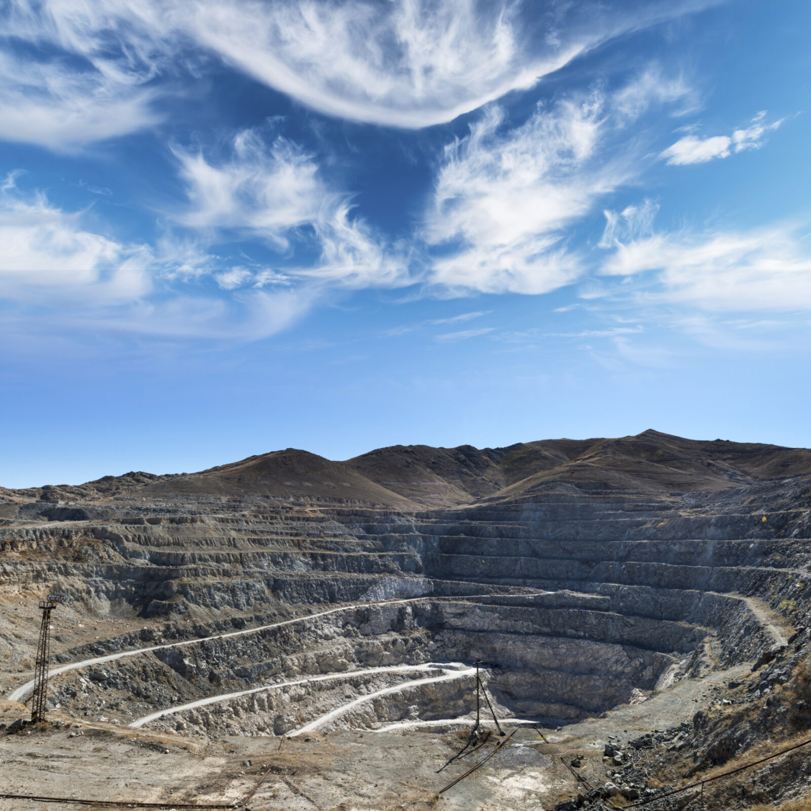
Mining
Development & Reclamation
Heightened safety, productivity, and profit for the mining sector.
With a safety-first mentality, solutions-based approach, and unmatched depth of experience, we deliver survey, geospatial, and GIS services to the mining industry. From exploration, and land and mineral acquisition to new construction and reclamation, our team has the capacity, expertise, and tools to get the job done safely, on time, and on budget. Whether it’s potash work in southern Saskatchewan, a large-scale open pit oil sands mine, or a northern uranium mining project, we provide customized solutions for every stage of the project life cycle to ensure our clients achieve the best possible outcomes.

Mine Development & Reclamation
We’ve worked in mining long enough to know that, in this dynamic and demanding industry, two things matter most: safety and profit. To achieve both, you need a team of professionals with the experience, expertise, and equipment for the job.
Enter GeoVerra. With offices from British Columbia to Ontario, we bring local knowledge, a deep bank of resources, and our “one team” mindset to every mining project. This ensures all our clients — big or small — receive the same quality of work that we’re known for, as well as solutions that help them meet their goals and objectives.
In order to monitor, survey, and support mining construction and reclamation operations, we rely heavily on our advanced technology. They not only allow us to cover more ground in less time than traditional surveying methods, but also provide greater context and detail to the data we collect so that clients can make informed decisions. Our teams are trained and experienced to operate these cutting-edge tools from safe positions and execute each job right the first time, getting clients the information they need as soon as possible.
Some of our mining services include:
- Surface lease surveys
- Boundary staking
- Environmental assessment plans
- Regulatory approvals
- Terrain modeling
- Volumetric surveys
- Survey control networks
- Reclamation surveys
- Open-pit mine surveys
- As-built surveys and plant production
“PADCOM is a locally owned company with a focus to develop Manitoba’s potash with a new economic model: sharing the profit to enable people to start businesses and investing in quality of life projects. Being our first potash mine, all the regulations and requirements were new to us. GeoVerra was on call for us 24/7 over 45 days to provide an immediate turnaround of information required by the various governments and agencies. The PADCOM potash mine wouldn’t be where it is today without the GeoVerra team. They were outstanding in helping us through this process.”– Daymon Guillas, President, Potash and Agri Development Corporation of Manitoba Ltd.
PADCOM, Russell McAuley Deposit
The Potash and Agri Development Corporation of Manitoba (PADCOM) engaged GeoVerra to provide surveying support and expertise in navigating the regulatory environment for the province’s first and only potash mine at the Russell McAuley Deposit. Having previously helped define the regulations for oil and gas exploration in Manitoba, GeoVerra was able to help navigate the similar regulatory environment of this mining project, while working closely with the PADCOM drilling and reservoir engineers to determine the best trajectory for the first two potash production wells. By avoiding troublesome mineral ownership rights and understanding road allowance easements, the team saved costs, minimized royalty issues, expedited environmental approvals, and maximized its pay zone reach.