Transportation
Road, Rail and Tunneling Infrastructure
Safe passages for cargo and commuters.
From road to rail, we provide exceptional service, trusted expertise, and quality data to transportation projects across the country. With over one hundred years in the surveying industry and offices from Western Canada to Ontario, we’re well-equipped to produce reliable results and mitigate risks, regardless of the scope or region. Our team uses the latest technology to deliver construction, engineering, and topographic survey services for the planning, design, layout, development, and maintenance of transportation infrastructure. Wherever you’re going, you can count on GeoVerra to help get you there.

Roads
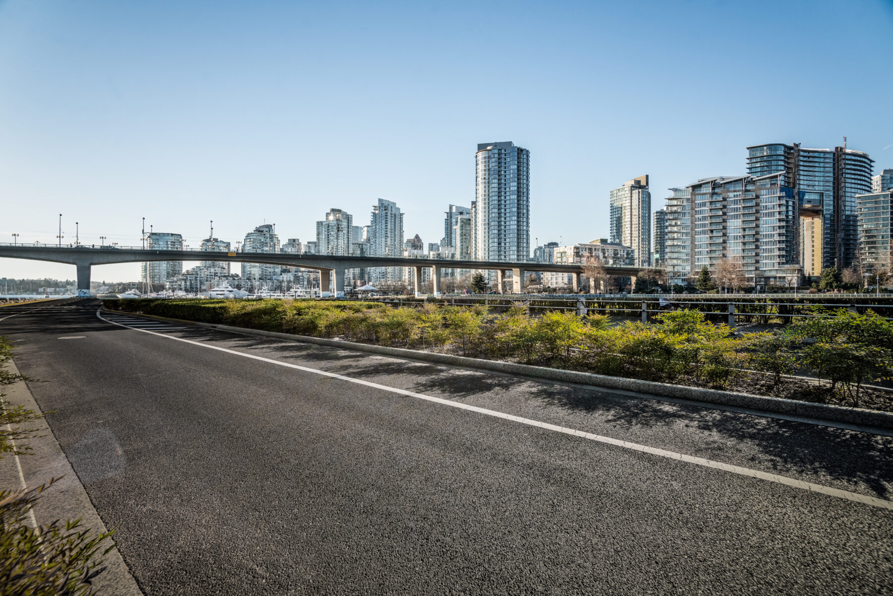
From tricky city streets to expansive highway systems, we can support roadway infrastructure projects of any size, anywhere. Our talented team and top-of-the-line tools enable us to be flexible, resourceful, and responsive to client needs. The surveying, mapping, and geomatics services that we deliver help bring operational and cost efficiencies to the construction of roads, overpasses, and bridges. And with decades of proven experience in this field, we know how to keep these projects on schedule and in compliance with local, provincial, and federal requirements.
When it comes to transportation infrastructure, conventional survey methods can be tedious. With the benefits of improved safety, compressed schedules, and reduced costs, we use our advanced technologies — mobile mapping systems (MMS), global navigation satellite systems (GNSS), robotic total stations, multistations, and more — to collect high-precision data, and provide monitoring services for a diverse range transportation projects. Having reliable data from the beginning, our clients can design and build with confidence.
Some of our road-focused services include:
- Corridor mapping
- Road and highway staking
- Road use and access plans
- Road condition assessments
- Traffic accommodation strategies
- Bridge layout
- Tunnel surveys
- Condition monitoring
- Construction and legal surveys

Rail
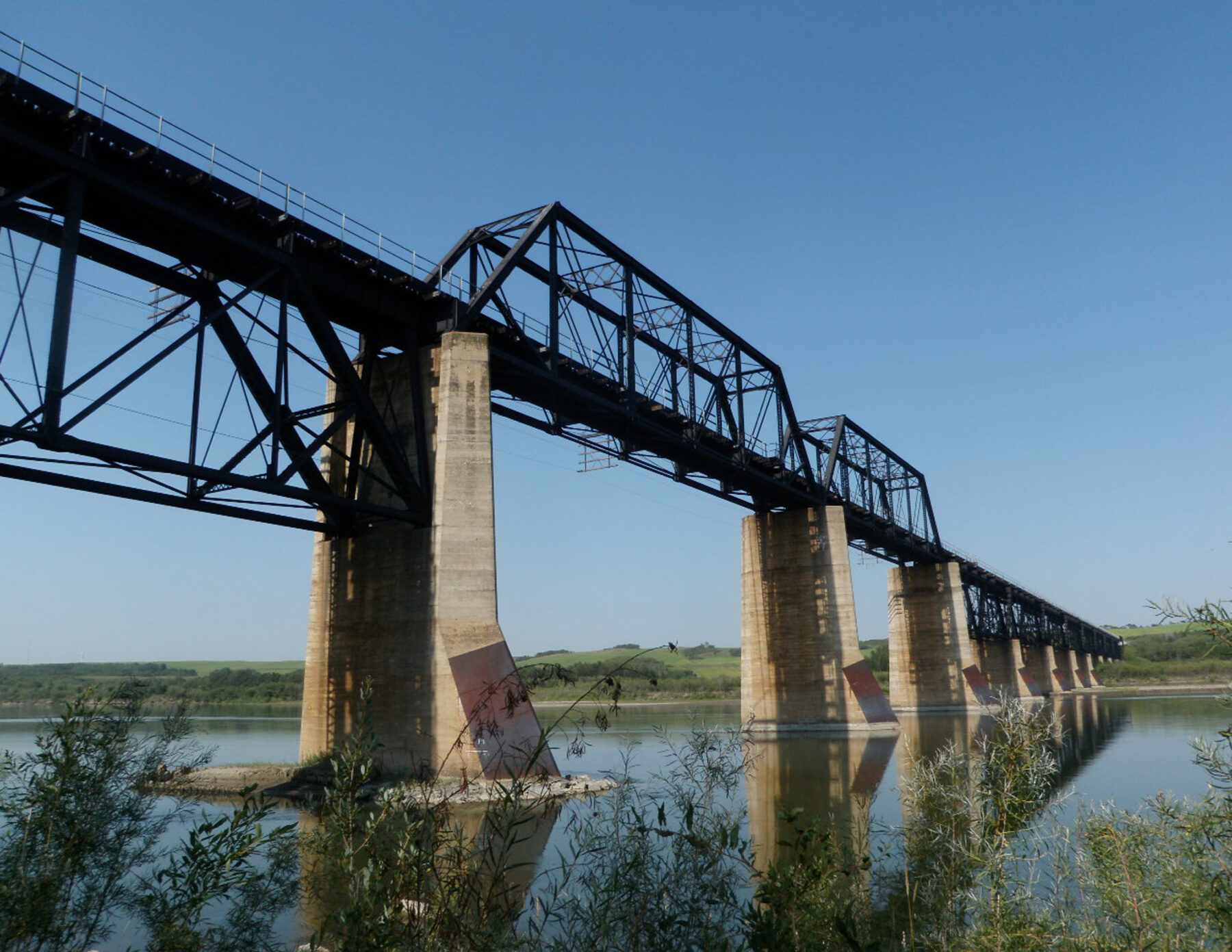
Whether you need to move cargo or people, our rail-focused geomatics team has over 300 years of combined experience and an organizational structure optimized to support the planning, design, layout, development, and maintenance of freight and commuter railway.
As technical advisors well-versed in standards and specifications, we’re able to oversee work on behalf of our clients and provide direct consultation to transit authorities and transit owners. Our crews have completed in-house and owner-specific railway safety training, which means we can deploy people to site quickly and ensure that operations run smoothly.
We use state-of-the-art technologies to deliver construction, engineering, and topographic survey services to both freight and commuter railway companies.
Our specialized tools, advanced surveying equipment, and 3D laser scanners enable us to prepare accurate profiles of existing tracks and as-built plans for new facilities, road crossings, tunnels, and platforms. All of this yields reliable calculations for design, maintenance, and clearance requirements. We also have the field, mapping, drafting, and programming resources to provide infrastructure asset management support to freight and commuter projects.
Some of our rail-tailored services include:
- Topographic mapping for concept and detail design
- Train envelope clearances
- Tunnel surveys
- Ballast and rail profiles
- Siteline documentation
- Legal designation plans

Tunneling
From initial site assessments to as-built audits and final commissioning, GeoVerra delivers expert geospatial solutions for transportation tunneling projects. Our experienced team ensures precise alignment design and implementation, keeping projects on schedule and within budget.
With cutting-edge technology and expertise in managing survey consultants, joint ventures, and quality assurance processes, GeoVerra ensures seamless execution of tunneling projects. We’re delivering accuracy, efficiency, confidence underground. See some of our tunneling services below and click the link to learn more.
- Project control surveys
- Tunneling Boring Machine (TBM) alignment and guidance
- Settlement monitoring
- CADD investigations
- Topographic and property surveys
- LiDAR scanning
- UAV surveys of abandoned tunnels
- Digital as-built models
- Offshore layout services
“By partnering with GeoVerra, Simpcw Resources LLP had the opportunity to work with industry leaders in Geomatics expertise and scalability. We valued their commitment to the continuous prosperity of Simpcw First Nation and their contribution to our ongoing efforts to create opportunities for our Nation members. GeoVerra consistently showed up with integrity and a commitment to being a premier-level partner.”– Heather Oliver, Business Relations Manager, Simpcw Resources Group
“I wanted to take a minute and commend your team for this control set. I’ve spent eight years using base maps from survey firms to complete our SUE surveys, and this is the tightest control I’ve ever seen. Top-notch work. I can only hope I get to use your base maps for future projects.”– Derek Springsted, Survey Field Supervisor, T2 Utility Engineers
“Our team likes working on challenging projects that get you out of your comfort zone. Our work on the RER program with Metrolinx has required a range of surveying techniques from conventional to high-tech, as well as providing strategic input through to quality execution.”– Tony Pu, Project Manager, GeoVerra
“We want to recognize this phenomenal team onsite and their commitment to personal safety as well as reinforcing safety responsibilities to the Prime Contractor.”– Lucy Wan, Coastal GasLink Pipeline, TC Energy
“From a comprehensive safety program and document submission standpoint, GeoVerra is a leader in managing safety effectively.”– HSE Advisor, Oil & Gas Producer
“By partnering with GeoVerra, Simpcw Resources LLP had the opportunity to work with industry leaders in Geomatics expertise and scalability. We valued their commitment to the continuous prosperity of Simpcw First Nation and their contribution to our ongoing efforts to create opportunities for our Nation members. GeoVerra consistently showed up with integrity and a commitment to being a premier-level partner.”– Heather Oliver, Business Relations Manager, Simpcw Resources Group
Metrolinx Regional Express Rail (RER)
Metrolinx is undertaking a transformation of the GTHA GO rail network to expand its services from primarily commuter transport to a fully integrated rapid transit system providing reliable, efficient rail connections. The 10-year, $16 billion GO Regional Express Rail (RER) program will double GO train service at peak periods and quadruple off-peak service.