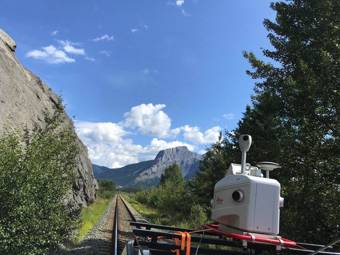
Edmonton, AB (April 23, 2025) – From coast to coast, Canada is experiencing a boom in major transportation infrastructure. Whether it’s the expansion of national highways, the modernization of rail corridors, or the reimagining of airports to meet growing demand – these large-scale projects are becoming more complex, more interconnected, and more reliant on data than ever before.
The key piece to success in this infrastructure evolution? Geospatial solutions.
Navigating Challenges in the Transportation Industry
Through many years of experience working with transportation infrastructure leaders, we’ve identified some key challenges that are keeping our industry leaders up at night:
- Aging infrastructure
- Rising project costs
- Extended project timelines
- Safety and risk concerns
- Demand for sustainable solutions
Tackling these challenges requires more than traditional methods—it takes innovative, data-driven geospatial solutions that bring clarity, efficiency, and precision to every phase of a project. Here’s how GeoVerra is helping transportation professionals overcome these obstacles and move their projects—and our communities—forward.
Reality Capture for Smarter Decision Making
Through advanced surveying methods and reality capture tools like mobile LiDAR, UAV mapping, 3D laser scanning, and GIS integration, project teams can now visualize, monitor, and manage infrastructure like never before. This high-resolution, real-time data empowers stakeholders to make informed decisions at every stage—reducing risk, improving collaboration, and accelerating timelines.

Transforming Data into Actionable Insights
Collecting large volumes of data is only part of the equation. The true power lies in what comes next: transforming it into insights. With the rise of AI-powered workflows, sophisticated data processing software, and integrated control networks, geospatial professionals can now turn massive, complex datasets into clear, actionable intelligence.
Streamlined Workflows = Cost Reductions
Having data to make actionable insights means transportation professionals—from planners and engineers to contractors and municipalities—can anticipate issues before they arise, streamline field-to-office workflows, and drive smarter outcomes from day one.
Supporting Infrastructure that Moves Canada Forward
At GeoVerra, we’ve seen firsthand how geospatial technologies can revolutionize the delivery of transportation projects. Our teams have supported highways, rail systems, tunneling, and aviation infrastructure across Canada with scalable solutions that keep projects grounded in reality while enabling ambitious forward-thinking design.
Stay tuned as we dive deeper into these topics in our upcoming webinar: Advancing Transportation Projects with Cutting-Edge Geospatial Solutions. We’ll be sharing real-world examples, technology insights, and strategies to help your next project stay on track, on time, and on point.
Register here and we’ll see you on April 30! Microsoft Virtual Events Powered by Teams
