Trans Mountain Expansion
Project Overview
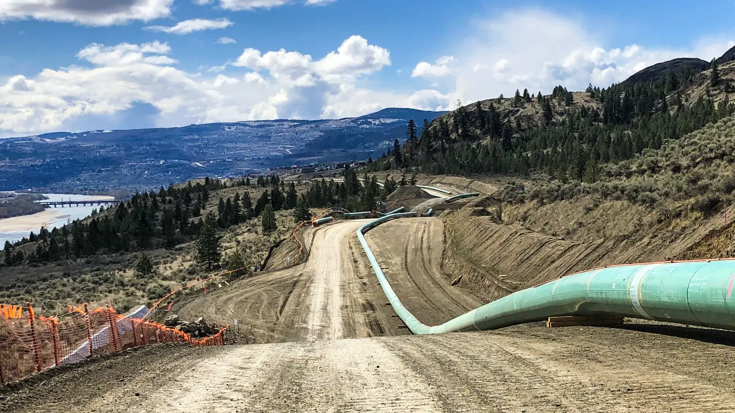
- Trans Mountain Corporation received approval from the Government of Canada in June of 2019 to move forward with the Trans Mountain Expansion Project (TMEP).
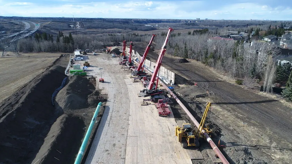
- The TMEP involves twinning of the existing 1,150 km of pipeline from Edmonton, AB to Burnaby, BC, including installing approximately 980 km of new pipeline.
- Currently in the construction phase, GeoVerra has and continues to provide a wide variety of surveying services at all stages of the project.


Project Background
Trans Mountain Corporation received approval from the Government of Canada in June of 2019 to move forward with the Trans Mountain Expansion Project (TMEP). As the largest project in the pipeline’s history, it will twin the existing 1,150 km of pipeline running from Edmonton, AB to Burnaby, BC to increase capacity by about 3-fold.
The project scope encompasses reactivating 193 km of pipeline and installing approximately 980 km of new pipeline. In addition, new and modified facilities will be constructed including pump stations, storage terminal tanks, and a new dock complex at the Westridge Marine Terminal in Burnaby to increase tanker capacity. The existing pipeline will carry refined products, synthetic and light crude oils with the capability for heavy crude oils, and the new pipeline will carry heavier oils with the capability for transporting light crude oils.
The combination of the teams’ work ethic, the desire to provide great service, and relationship building has made – and continues to make – the long-standing partnership with Trans Mountain Corporation an ongoing success story.
– David Maguire, Director, Pipelines
Why GeoVerra
Several of GeoVerra’s team members have been working closely with the TMEP Engineering group for over 10 years, delivering efficient, reliable results. The credibility built through a deep knowledge of pipeline work and the partnerships fostered both with TMEP and First Nations groups were key to GeoVerra being awarded the survey work.
As Canada’s largest geomatics firm, GeoVerra has the offices, resources, and teams to meet the needs of large, high-profile pipeline projects like the TMEP. Not only has GeoVerra supplied the personnel required to get the job done, but they are responsive in their approach, adapting to client requirements as the need for crews ebbs and flows. The GeoVerra team working on the TMEP includes up to 40 survey crews and 50 support staff. Coordination of resources on complex projects – both people and equipment – requires continuous communication at all levels, whether in daily site safety meetings, survey crews connecting with foremen and supervisors, or technical coordination between office teams. Timely, open and straightforward communication is critical to safe, efficient, and quality operations.
Managing relationships with contractors and suppliers, which number in the 100s for a project of this size, is also crucial. It takes exceptional project management skills, which the GeoVerra team has in spades with many members having over 20+ years’ experience. With recent supply chain issues, attention to even the smallest details – like sourcing quality stakes and paint pens to withstand the effects of weather and harsh environments – can impact project timelines. GeoVerra’s acute attention to detail and transfer of deliverables has been key to ensuring that project deadlines are met and client expectations are exceeded.
The partnership between GeoVerra and TMEP runs deep, with relationships built between individual team members at all levels from Field Supervisors, Crew Chiefs, and Technical Staff up through Project Managers, Senior Party Chiefs and Directors. These relationships are invaluable to efficient operations and extend beyond the workday to become trusted friendships that have grown in parallel with career trajectories spanning decades.
Primary Services
Pre-Legal & Engineering
GeoVerra has supported TMEP Pre-Legal and Engineering design with a variety of field surveys and deliverables including:
- Establishing a project-wide control network of points along the pipeline using GIS
- Creation and maintenance of base plan maps with cadastral/parcel boundaries, including integration of field data for continuous boundary refinement
- Creation and maintenance of a parcel database with all landowners and related tract information
- Ownership sketches and right of entry plans to support land acquisition
- Field survey and plan preparation of watercourse, road, highway, buried and overhead utility crossings for detailed engineering and third-party permitting purposes, including typical crossing plans, profile crossing plans, proximity, and encroachment plans
- Extensive line locating and topographical surveys to facilitate engineering, right of way (ROW) and valve design
- Field survey, plan preparation and registration of various legal plans in AB, BC and Canada Lands to support land negotiations and fulfill Canada Energy Regulator (CER) obligations
Access Road Crossing Identifier (AXID) /Off ROW Access Road Network
GeoVerra has assumed the maintenance of the Trans Mountain Construction Access Road Network including:
- Ongoing GIS services to modify and maintain the Access Road Network through the implementation of approved management of change (MOC)
- Delivery of spatial geodatabases on a regular basis
- Field surveys to identify or confirm third-party crossings for proposed access roads
- Preparation of typical crossing, profile crossing, proximity, and encroachment drawings for third-party permitting
- Preparation of ownership sketches for land acquisition
- Creation and maintenance of tracking lists for input into TMEP permit tracking system
Advanced Technology
- Mobile mapping, UAVs, and micro-drones including LiDAR units to fly around confined spaces, like tunnels, safely
- Rail monitoring solutions
- Automated 24-hour monitoring
Regulatory Surveys and Plan Preparation
- Completion of legal surveys and preparation of legal plans for Canada Lands, and AB and BC Land Titles in areas where Trans Mountain has purchased land
- Preparation of Individual Ownership Plans for all private land parcels in both AB and BC, as well as crown sketch plans for all crown land in both provinces, ensuring all regulatory requirements are maintained to obtain a pipeline ROW
Pre-Construction Surveys
- Staking, flagging and sweeping of the footprint features, such as crossings, boundaries, hotline, chainages, centerline, starting in the Edmonton area and has progressed into several areas in BC, including Valemount, Clearwater, Kamloops, Merritt and Hope
Construction and As-Built Surveys
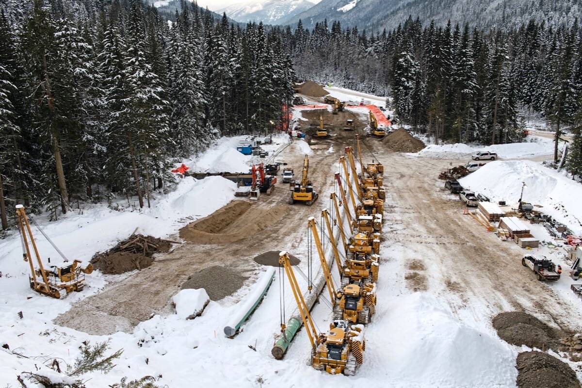
The GeoVerra construction team consists of over 100 individuals involved in management, field supervision, pipe as-built technicians, survey crews, CAD and GIS technicians, an HSE advisor and administrative support.
These individuals are engaged in the following pipeline survey tasks:
- Staking of pipeline centerline design features
- Pipe tally and weld verification
- Survey as-built of lowered in pipeline sections
- Survey of tie-in sections and final tie-ins
- 24/7 railway survey monitoring using remote controlled Total Stations
- High precision road bore monitoring
- UAV imagery and LiDAR of topographic features
- Hydrostatic test surveys and profiles
- Pipeline as-built geospatial database, spreadsheets and KMZ files
- Volume measurements for post grading topographic surveys
- Valve site construction survey support and layout
- Hydrovac Survey support
- Hi-Fi fiber optic cable and alternating current (AC) mitigation installation survey support
- Horizontal directional drilling (HDD) survey support
- Hydrostatic testing, which includes profile drawings, and support for caliper pig runs
- Acid rock volume measurements
- Staking of no-go areas, such as Ministry of Transportation and Infrastructure (MOTI) Temporary Workspaces and Oil and Gas Commission (OGC) not approved areas
- Staking of archaeological areas identified by the Project Environmental Team
- Bathymetry of waterbodies for engineering design
- Laser scanning of various terrains for geotechnical analysis
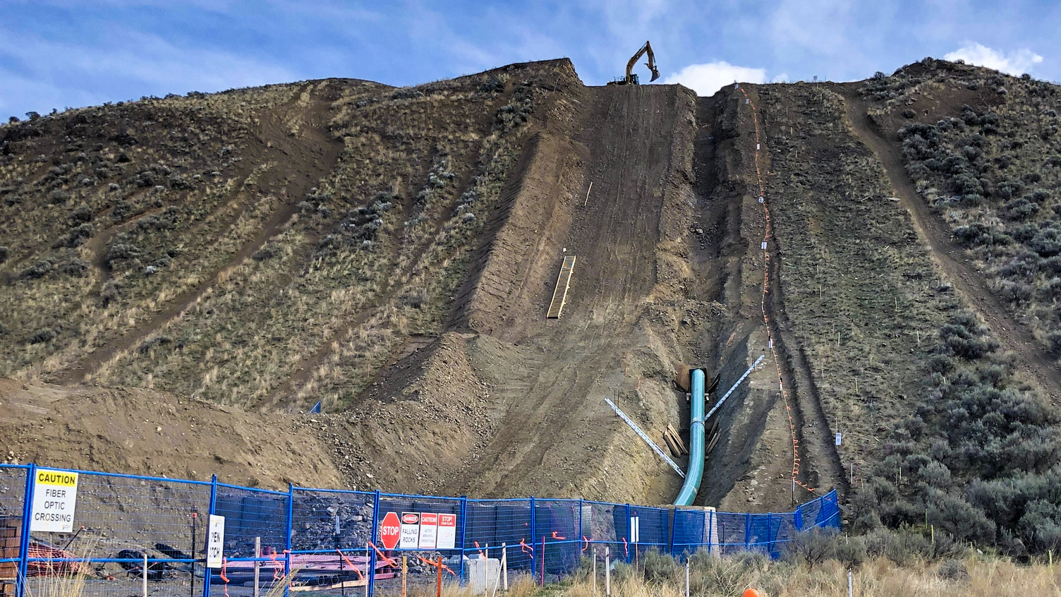
- Steep slope survey support for TMEP and the general construction contractor (GCC) crews
- Survey of culture modified trees (CMT) and wildlife trees for the Environmental group
- Monitoring of the airspace under installed airbridges
Post-Construction and Legal Surveys in AB and BC
- Locate existing posts along the pipeline route and post legal boundaries of the new easement
- Post construction staking of the installed pipeline
- Redlining of IFC and as-built drawings
- Survey support for installation of pipeline warning signs

Ready to Start?
As one of Canada’s largest geomatics companies, we have field offices dotted from British Columbia to Ontario so that we can deploy teams with local knowledge at the drop of a hat and scale quickly to meet project needs.