Subsurface
Utility Locating
Dig a little deeper.
We conduct a wide range of subsurface utility locating services that help avoid disturbing critical infrastructure. Our solutions not only save clients from costly delays and expenses, but also ensure the safety of everyone on site.
Utility Locating Services
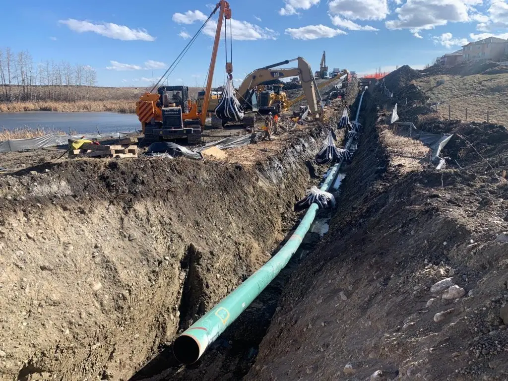
You transfer a lot of risk when you hire a team for subsurface utility locating. That’s why it’s important to select a team with the right qualifications, skills, and tools for the job. At GeoVerra, our surveyors, engineers, line locating technicians, and CAD specialists have experience locating all utility types on projects across the country. They’ve worked through many unique and unexpected challenges (abandoned facilities, poor conductors, unregistered facilities), and found ways to problem solve and innovate in order to achieve a successful locate.
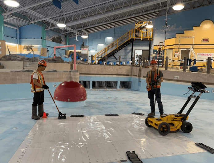
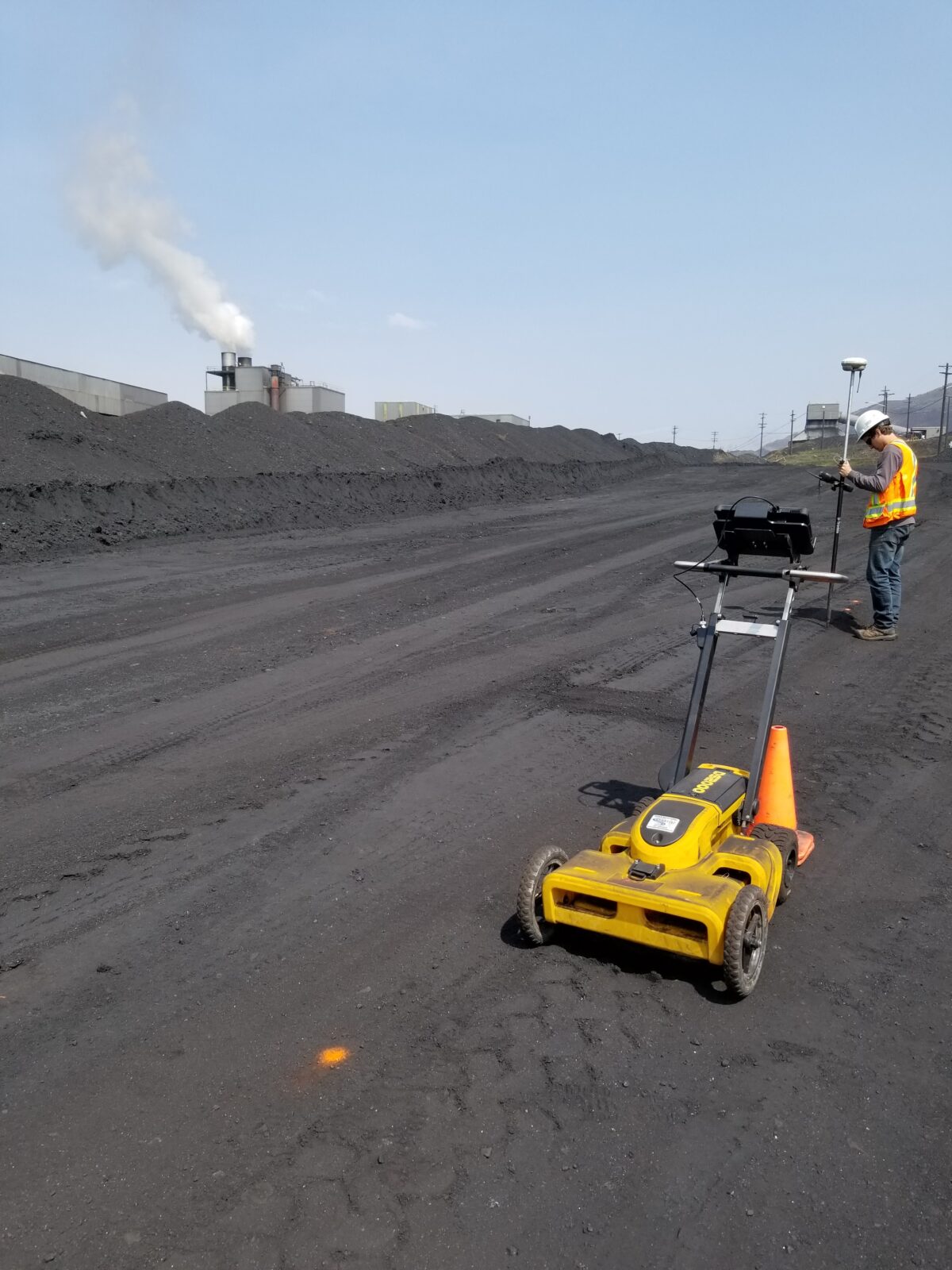
Depending on the nature of each project, we use a variety of technologies and methodologies to locate buried infrastructure, like electrical, pipelines, water and wastewater, and telephone or fibre optic cables. But we often rely on our best-in-class ground penetrating radar (GPR) systems to view and analyze what’s below the surface. Not only does this efficient and non-invasive form of surveying have enough penetrating power to detect defects or deteriorations at great depths, but it can also yield a 2D cross-section of subsurface utilities and provide a 3D depiction of the data it collects. What does this mean for our clients? The ability to see below the surface and gain valuable insights for the maintenance, operation, and construction of their utilities.
Some of our subsurface utility locating services include:
- Conventional electromagnetic locating and marking of buried utilities
- Ground Penetrating Radar (GPR)
- Void and leak detection
- CAD plan preparation
- Utility relocation plans
- Site management
- Hazardous waste mapping
Surveying Technology
Ground Penetrating Radar (GPR) is a non-invasive, non-destructive geophysical surveying technique that produces a 2D cross-section of the subsurface using electromagnetic waves (EM) in the microwave band. Compared to techniques, GPR not only has enough penetrating power to detect defects or deteriorations at great depths, but also the ability to provide a 3D depiction of the data it collects. All of this (and more) makes GPR the perfect tool for the real-time location and marking of subsurface utilities.
Contact us about your Subsurface Utility Locating needs today
Your project is just as important to us as it is to you. Tell us about your needs and we will get back to you as soon as possible.
Contact Form
We’re ready to support you and your project. Just tell us how we can help you by filling out the form below.