Trans Mountain Reactivation
Project Overview
- Some sections of the Trans Mountain Pipeline are already twinned and have an active pipeline and deactivated segments.
- To complete the full twinning of the pipeline, Trans Mountain is reactivating two segments in British Columbia and Alberta.
- GeoVerra is completing integrity dig surveys in these reactivation areas and throughout the existing Trans Mountain Pipeline system.


Project Background
The Trans Mountain Pipeline was brought online almost 70 years ago and currently carries ~300,000 bbl/day from Strathcona County, AB near Edmonton to the Pacific Coast at Burnaby, BC. In 2019, the Trans Mountain Expansion Project was approved to expand capacity by almost 3-fold to 890,000 bbl/day.
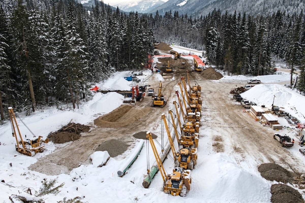
From previous expansion projects, about a third of the 1,150-km pipeline system is already twinned, with an active pipeline and deactivated segments. As part of the overall project conducted by Simpcw Ledcor, two segments are being reactivated: Jasper – Mount Robson from Hinton, AB to Hargreaves, BC (150 km); and West Barriere from Darfield, BC to Black Pines, BC (42 km).
In feedback sessions with Trans Mountain and Simpcw Ledcor LTD Partnership, everything has been positive. As a result, they continue to work with us on several other big projects.
– Mohamed Attia, Vice-President, Geospatial & Advanced Technology
Why GeoVerra
Large pipeline integrity projects require geomatics service providers with the capacity and project experience to provide the right solutions – not only in terms of what services are provided, but how they are executed. As Canada’s largest geomatics firm, GeoVerra has offices, resources, and teams that span provincial borders. Having been involved with surveys for the original Trans Mountain Pipeline, GeoVerra was the geomatics provider of choice with the historical knowledge to hit the ground running.
Managing multi-year projects requires flexibility and responsiveness in resource allocation, scope cost, and scheduling to accommodate changing client needs. GeoVerra has a deep bench of professional expertise ranging from seasoned project management to expert data analysis to well-trained field teams. This, combined with access to the latest advanced technology – both hardware and software – enables
GeoVerra to provide accurate, fit-for-purpose, cost-effective solutions as the Trans Mountain Reactivation project develops.
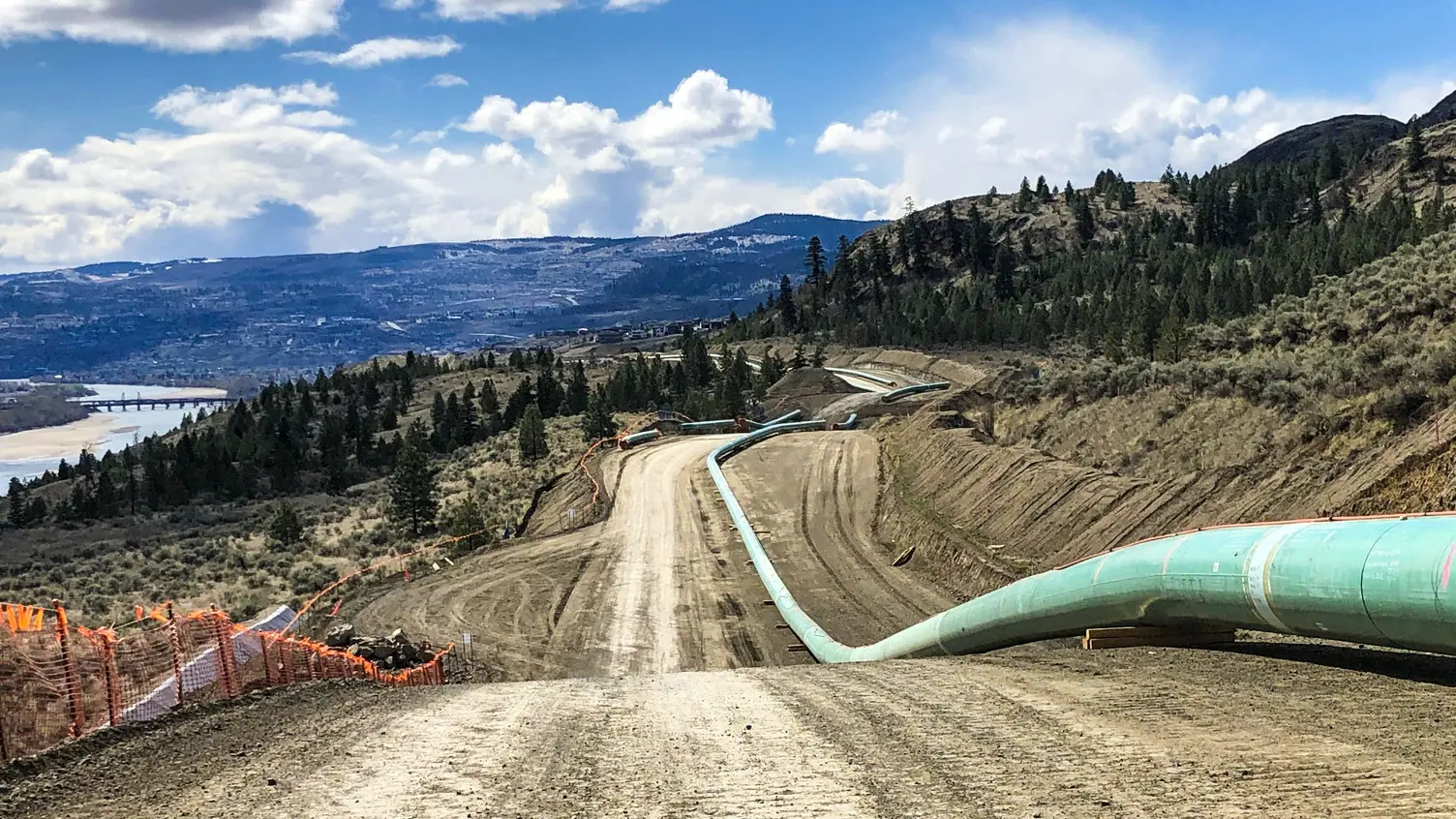
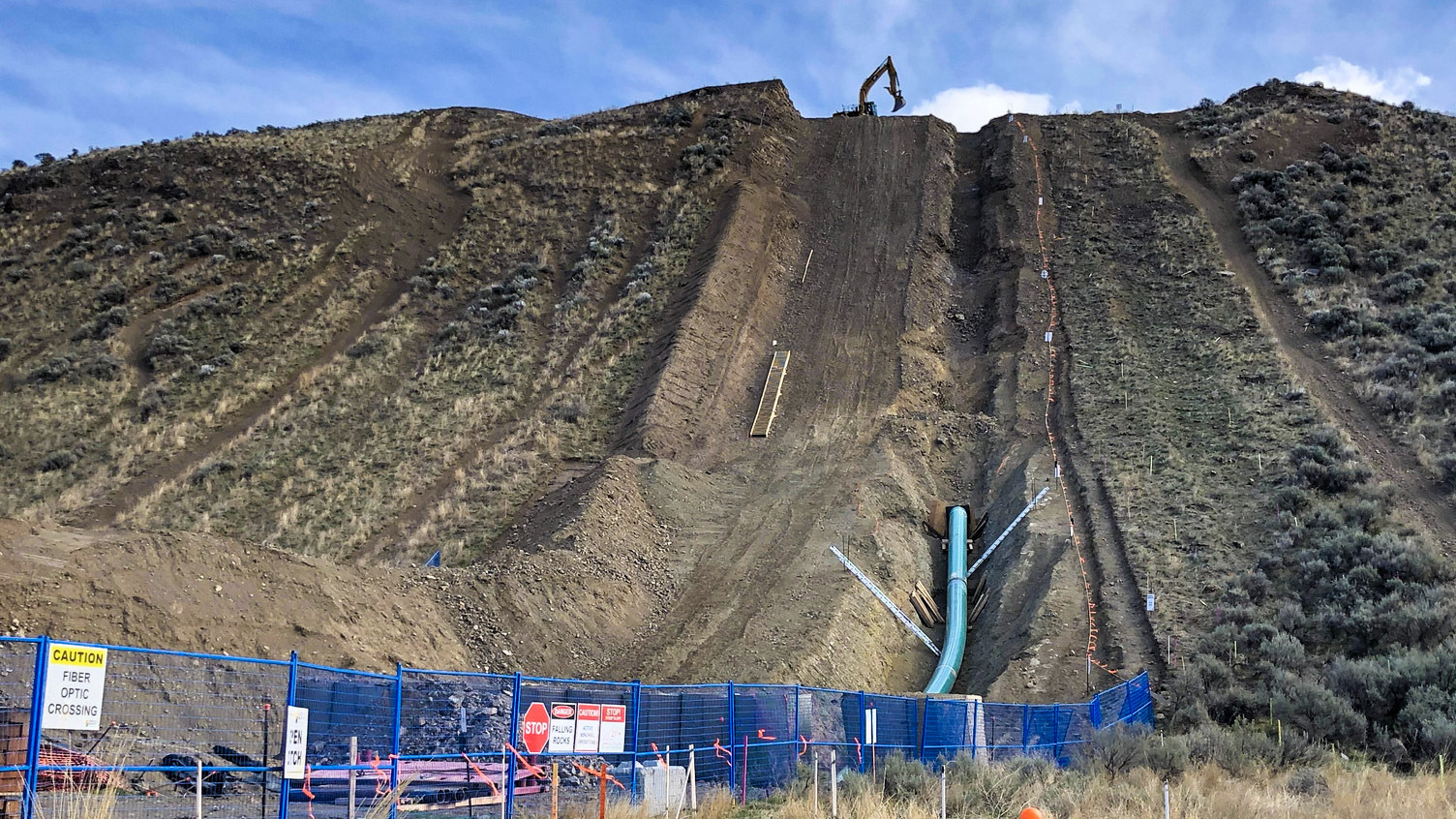
Being a trusted partner goes beyond what you do, but how you do it. The areas of operation for the Trans Mountain Reactivation have a wide variety of terrain and climatic conditions, including wetlands, mountainous terrain, steep slopes, and areas with restricted access. Sharing in the values of safety as a culture, respect for environmental impact, understanding stakeholder management, and providing the highest quality deliverables, makes GeoVerra a reliable partner – from start to finish.
Primary Services
Pre-Construction Surveys
Preliminary Surveys for the reactivation dig locations, including legal ties to determine the right of way (ROW), steep slope surveys, material volume estimations, topographic surveys, and on-the-fly excavation design support for large pipe replacement site planning. In addition, staking, flagging, and sweeping of the ROW where dig site activities are intended to commence and refreshing areas that are currently active.
As-Built Construction Surveys
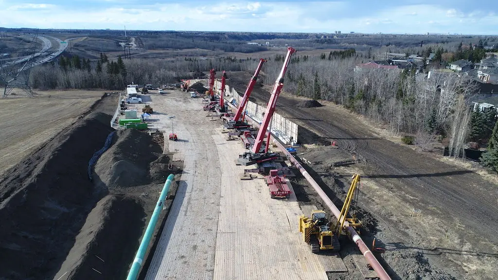
As-Built Construction Surveys of pipe replacement portions are ongoing in Alberta and British Columbia. They include assisting in ditch engineering, as-built surveys of the pipe, construction activities, and recording of the final grade.
As-Built Construction Surveys of access ramps and laydown areas with on-the-fly, field-fit engineering adapted to client specifications and requirements are ongoing throughout the project.
Deliverables
Dig Site Plans have been prepared using legal survey evidence and topographic information collected in the field, and site-specific access maps for the various sites throughout the Project. This allows GeoVerra to better assist the reactivation team in acquiring all third-party crossings and proximity agreements necessary.
Stakeout Reports have been prepared and are kept current for all active reactivation work sites. The reports include sweeping and locating results and documentation, and a sketch of the location. The Stakeout Reports are also used by the client to aid in fulfilling its One Call Ticket requirements.
As-Built Survey Plans have been prepared creating a record of the pipe features and topographic information at the time just before backfill. This creates a snapshot of the site to verify that all required information has been measured and communicated to create final turn-over packages for the individual sites.
Access Maps Overview Maps have been prepared to assist in third-party notification and agreement acquisition, along with logistics planning for each site along the pipeline ROW.

Ready to Start?
As one of Canada’s largest geomatics companies, we have field offices dotted from British Columbia to Ontario so that we can deploy teams with local knowledge at the drop of a hat and scale quickly to meet project needs.