Smart Surveying & Geospatial Solutions for Municipalities
Reliable data and trusted services for building and maintaining smarter cities.
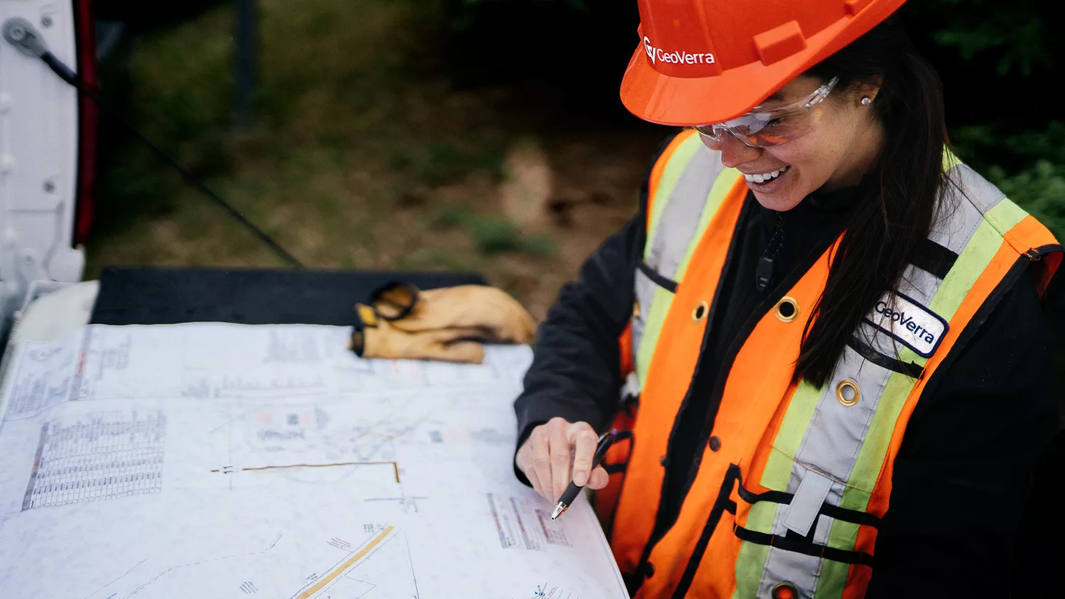
Your geospatial partner for supporting the future of your communities
We support your vision with clarity, precision, and confidence. GeoVerra provides a complete suite of surveying and geospatial services that support municipalities with:
- Effective step-by-step plans
- Improving asset management
- Budget planning support
- Preventative maintenance
- Risk mitigation
- Lifecycle cost reduction
- Asset longevity
- Operational liability
- Sustainable growth
- Land use planning professionals
From transportation networks to utilities to public facilities, our team provides the accurate information and practical guidance needed to make informed decisions and advance projects.


Our Services and Capabilities:
- Pavement Condition Analysis
- Road and sidewalk mapping with PCI and IRI reporting
- GIS dashboards and insights for predictive maintenance and lifecycle planning
- Urban Accessibility Plans
- High detail mapping and models for accessibility reviews
- Simulation and prioritization of upgrades for compliance
- Road Mapping and Subsurface Utility Mapping
- Mobile mapping scans for complete surface capture
- Line locating across all levels for accurate utility data
- Three dimensional city models including all utilities
- Water and Wastewater Management
- Ground Penetrating Radar and line locations for leak detection
- Digital Twins for IoT integration, smart metering, and maintenance planning
- Public Property Management
- Three dimensional mapping for accurate as built documentation
- Support for maintenance, engineering, renovations, accessibility, and compliance
- Updated GIS Database
- Centralized and updated GIS database of municipal infrastructure
- Unified digital platform for better decision making and Smart City planning
The Importance of Preventive Maintenance
Preventive maintenance costs less than 3% of full reconstruction, making early action the smartest way to protect your roads and your budget.
75% of asset life occurs before rapid deterioration begins.
Delaying action leads to steep drops in quality and exponentially higher costs.*
*source: U.S. Department of Transportation – Federal Highway Administration

Here to Support Your Community
If your community is growing, modernizing, or preparing for future renewal, our team is ready to help. You can explore our office locations to connect with a team near you.


Talk to our team about your municipal infrastructure needs
Our team is here to provide clarity, confidence, and reliable data for every stage of your municipal planning and asset management work.
Contact Form (1)
We’re ready to support you and your project. Just tell us how we can help you by filling out the form below.
“The expertise and efficiency of your team on this transaction was excellent. There were so many moving parts, it would have been impossible to pull it off without an expert group of surveyors leading the way on the plans.”– Partner, Law Firm
“In our larger Alberta based FTTH program, we used 3 different survey companies and GeoVerra stood out as the best performing vendor. They had the best speed and quality of deliverables, which were delivered reliably on time without any unexpected additions. If the program expands further in the future we will definitely call GeoVerra first!”– Canadian Telecommunications Client