Fiber to the Home (FTTH)
Project Background
Telecommunication companies are quickly expanding their Fiber to the Home (FTTH) internet services to rural and urban centers. These types of internet services are necessary as bandwidth usage is exponentially increasing to accommodate video on demand, smart homes devices and other online services that are becoming basic amenities in homes across North America.
The installation of FTTH services requires accurate information on all assets present in the municipalities so they can build the fiber network to people’s homes and reduce operational and capital expenses.

The planning and implementation cost of the FTTH services is traditionally done by using asset information collected by conventional GIS ground survey, which typically represents around 30 per cent of the cost of the project. Another 30 per cent of the total cost of the project can be spent on converting the collected field data into tables in the format requested by the client.
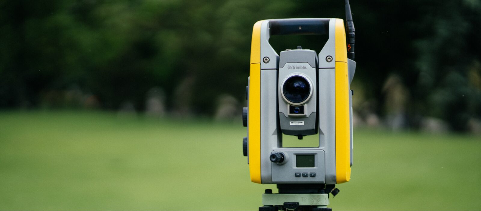
GeoVerra helped the client to reduce their operational and capital costs by providing mobile mapping and aerial photogrammetry survey services to quickly capture all infrastructure assets of the municipality in Alberta and made all the data available online to the client through an online web portal.
Overview
Challenges
- The Canadian telecommunication client needed to collect 3D data of the entire municipality in Alberta accurately and quickly.
- The collected data needed to be used to extract features at survey-grade accuracy and be available online for visualization and measurements.
- By providing advanced mobile mapping and UAV services, GeoVerra efficiently collected close to 1TB of municipality data while reducing the client’s operational and capital costs, and making it accessible to view online through an online web portal.

Why GeoVerra – Trusted, Responsive, Reliable Solutions
GeoVerra embraces technological innovations to advance the industry and support clients in an increasingly data-driven world. For a project like this, GeoVerra used the latest mobile mapping and UAV technologies to save the client time, increase efficiencies and deliver accurate data.
By collecting mobile mapping and UAV imagery of the entire municipality in Alberta at survey-grade accuracy in only four days, GeoVerra helped the client reduce their operational, capital cost and time spent on the project. The team was able to extract survey-grade assets using quality software and workflows to meet the project deadlines while the point cloud, imagery, orthomosaic and extracted features met the client’s accuracy requirements.
Primary Services
Mapping and GIS
- Mobile mapping survey grade (point cloud and imagery)
- UAV – photogrammetry
- Feature extraction for CAD and GIS
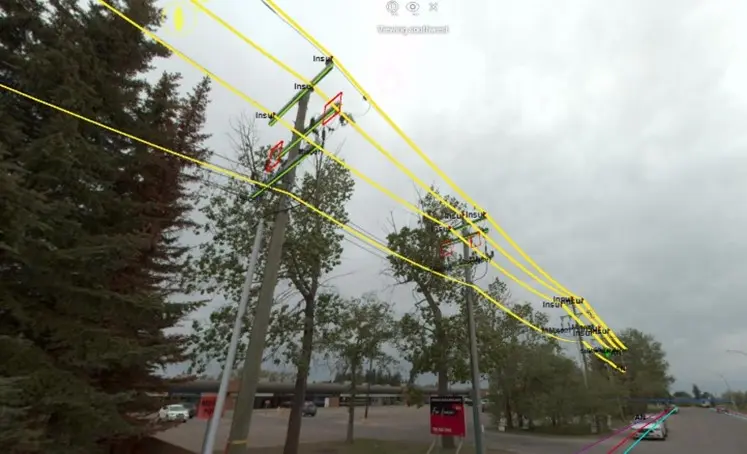
- Semi-automatic and automatic software tools to efficiently extract assets of the point cloud and imagery at 3cm accuracy (horizontally)
- Power poles (location, inclination, height, etc.)
- Guy wire
- Insulators
- Phase cut-out
- Power lines
- Telecommunication cables
- Road furniture
- Curbs and gutters
Deliverables
- A custom online portal to access the extracted features and assets’ point cloud and imagery
- Connected the online data to the client ArcGIS software

Outcome
In our larger Alberta based FTTH program, we used 3 different survey companies and GeoVerra stood out as the best performing vendor. They had the best speed and quality of deliverables, which were delivered reliably on time without any unexpected additions. If the program expands further in the future we will definitely call GeoVerra first!
– Canadian Telecommunications Client
For more information on how the GeoVerra team can support your telecommunication or utilities project, send us a note at www.geoverra.com/contact

Ready to Start?
As one of Canada’s largest geomatics companies, we have field offices dotted from British Columbia to Ontario so that we can deploy teams with local knowledge at the drop of a hat and scale quickly to meet project needs.