Author: Corey Wainman, President, MDGL
Trusted Expertise with Deep Roots
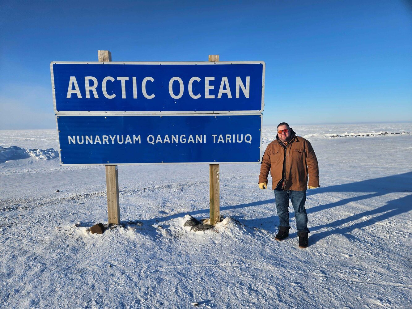
Inuvik, NWT (May 12, 2025) – Mackenzie Delta Geomatics Ltd. (MDGL) has been a trusted partner in the North for over 15 years. Through our joint venture, Coreman Technical Services Ltd. and GeoVerra Inc. (and legacy companies), we’ve built strong ties to the land, the communities, and the unique challenges that come with operating in Arctic environments. Staffed by local geomatics professionals, our team understands the realities of Northern projects like no one else- because it isn’t just where we work, it’s where we live.

Specialists in Remote and Rugged Environments
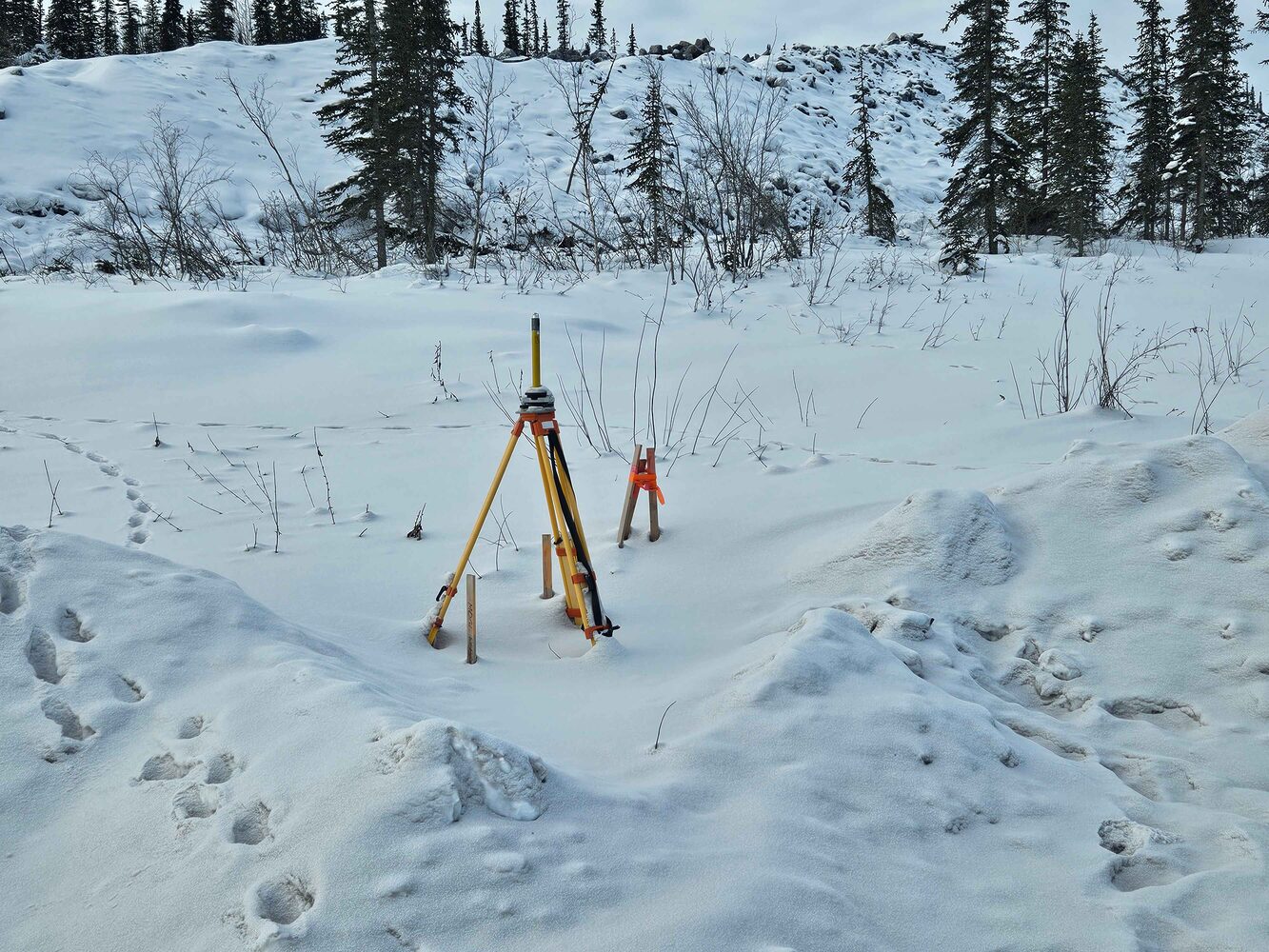
Operating in remote, hard-to-reach areas is second nature to us. Our field teams are equipped with specialized tools and workflows to handle all-season, all-terrain deployments, including permafrost conditions, ice roads, and short project windows. With technology like UAVs, RTK GNSS, conventional surveying equipment, and GIS tools, we ensure accurate and timely data delivery- even when connectivity is limited.
Community-Driven and Relationship-Focused
At MDGL, our work is built on strong, lasting relationships with Indigenous communities and local stakeholders. We’re committed to supporting economic development and capacity building across the Northwest Territories. Our approach emphasizes collaboration, respect, and environmental stewardship, ensuring that the projects we undertake contribute positively to the regions we serve.
Tailored Solutions for Northern Challenges
Every project comes with its own set of challenges- and MDGL delivers solutions built specifically for the environment we work in. Whether supporting oil and gas, infrastructure, environmental monitoring, or land development, we bring a deep understanding of regulatory requirements, access constraints, and environmental sensitivities to every job.

Backed by National Strength, Focused on Local Needs
Through our connection with Coreman Technical Services Ltd. and GeoVerra Inc., MDGL combines local knowledge with the strength, quality, and resources of a national leader. This partnership allows us to offer a full suite of geomatics services- from land surveying and mapping to drone imagery, 3D laser scanning, land use planning, and construction monitoring- across sectors like energy, mining, government, utilities, municipal development, and environmental projects.
Ready to work with a team that understands the North from the ground up?
Contact Mackenzie Delta Geomatics Ltd. today to learn how we can support your next project.

