We were built for big things.
The surveying and geomatics company for Canada's Defence Construction Projects
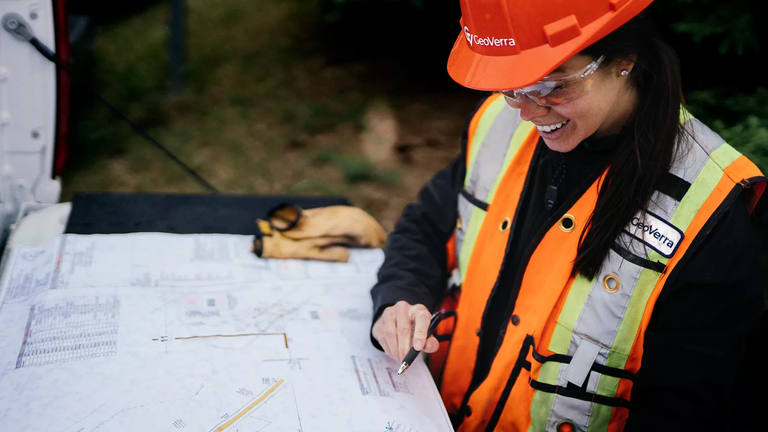
Your Survey Partner Built for Defence Construction Projects
Defence Construction projects demand secure, compliant, and highly accurate geomatics support, delivered with consistency and discipline. GeoVerra is Canada’s largest geomatics firm, built to support highly regulated federal environments with the capacity, nationwide reach, and technical expertise to deliver with confidence. Our teams bring experience working on active Defence Construction projects, supported by Facility Security Clearance, secure data handling protocols, strong safety programs, and ISO-aligned quality processes.
From early planning and design through construction and long-term asset management, GeoVerra delivers trusted survey and geospatial solutions that help reduce risk, improve cost certainty, and keep complex projects moving forward across Canada.
Services:
- Land surveying (legal surveys)
- Pre-design, design and construction surveying
- Line locating and Subsurface Utility Engineering (SUE)
- Existing conditions documentation
- Long-term asset management
- As-built surveys
- Deformation and settlement monitoring
- Structural and verticality surveys
- Data formatted to federal standards and systems
Geospatial Services:
- GIS and 3D web portals
- Bathymetric surveys
- Terrain modeling
- SCAN to CAD
- SCAN to BIM
- High-accuracy geospatial databases
- GIS integration
- Mobile mapping
- LiDAR
- Digital twins
Why GeoVerra:
GeoVerra is a team built to support Defence Construction with nationwide capacity. We deliver secure, compliant and precise geomatics services for Canada’s most critical infrastructure. Our scale, security standards, technology investments, and national reach position us to confidently support highly regulated federal environments.
- Largest pure-play geomatics firm in Canada
Full suite of services, 650+ team members, and 23 office locations - Corporate secret level Facility Security Clearance
- National and local resource scalability
Nationally managed technical resource pool allows us to scale our team and equipment for projects - Continual investment in our industry-leading geospatial technology fleet
We invest each year to ensure our equipment and software are up to date - 7 layers of GV Secure cybersecurity
Zero breaches in 5+ years and monthly security audits - Strong safety programs
TRIF of 0 with over 1.5 million hours worked - Indigenous partnership commitment
PAIR committed and proud member of CCIB

Projects: Building our Country’s Latest Facilities


Technologies to do more.
While there will always be a time and place for traditional surveying, GeoVerra embraces technological innovations to advance the industry and support clients in an increasingly data-driven world. By investing in technology year after year, we’re setting a new standard in reality capture and digital transformation.
Tell us about your defence construction project
No matter how complex, our team has the resources and expertise to scale up or down as required. Don’t hesitate to reach out so we can let you know how we are able to assist.
Contact Form (1)
We’re ready to support you and your project. Just tell us how we can help you by filling out the form below.
“I wanted to take a minute and commend your team for this control set. I’ve spent eight years using base maps from survey firms to complete our SUE surveys, and this is the tightest control I’ve ever seen. Top-notch work. I can only hope I get to use your base maps for future projects.”– Derek Springsted, Survey Field Supervisor, T2 Utility Engineers