fbpx

Mapping & GIS

The industry’s best data, tailored for you.

At GeoVerra, spatial data is core to what we do. Mapping and GIS technologies help us to achieve remarkable things and better understand the world around us, while also improving productivity, communication, collaboration, and safety. Our industry-leading experts present data to our clients in rich, engaging, and easy-to-understand visual formats, delivering insights that support effective decision-making and drive projects forward on time and on budget.

Standardized Products with Personalized Solutions

We use the latest Autodesk® and Esri® software to offer comprehensive mapping and GIS services for clients in diverse industries. Whether you have your own spatial datasets or not, our experienced Cartographic, GIS, and CAD experts can provide a wide range of maps, reports, visualizations, and apps so that you have the insights needed for project success.

  • Facility, disposition, access, and emergency response maps
  • Regulatory location reports
  • Pre-planning visualizations for pipeline projects and drilling programs
  • Elevation profiles and 3D visualizations
  • On-demand and real-time data processing and analysis
  • Personalized solutions (analysis, design, and delivery)

So, the data is there, but what can you do with it, who is going to see it, and how do you make the most of it? Well, that’s where we step in — transforming complex data sets into something beautiful (yes, we just called data beautiful). We collect, comb, filter, and display project information in one place so that our clients can make meaningful data-driven decisions. Whether you need a standardized solution (GV View) or a custom portal, our data visualization programs can help you design and build with confidence.

GV View

GV View, our online portal, presents precise spatial data and up-to-date self-serve deliverables on an interactive map, empowering clients to take control of their projects.

From mapping, visualization, and data management to design, planning, decision support, and analysis, with GV View you can:

  • View all your projects on one map
  • Locate projects and sites quickly
  • Download project deliverables
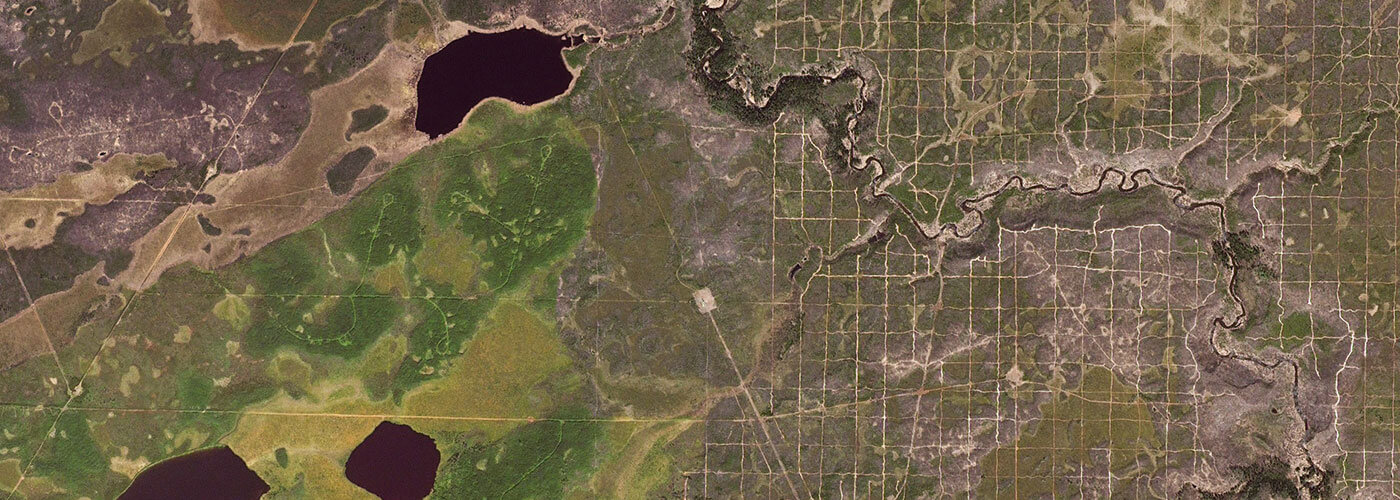
  • Access satellite imagery (updated each year)
  • View public energy datasets overlaid on a single map

Download the GV View Brochure

Custom Portals

Using GIS to create, manage, analyze, and map all kinds of data — then crafting it into one seamless, tailored web portal — we make massive amounts of information more accessible than ever before to clients in nearly every industry.

Backed by a skilled and certified staff of GIS analysts and developers, our custom portals are built to fulfill precise requirements for functionality and adapt to the specific needs and goals of each client.

Connecting documents, panoramic images, still images, vector data, and more, we’ll help you integrate the data you need, how you need it, in an intuitive, visual platform that helps drive smarter operations and deliver safer, more sustainable projects through max collaboration.

Download the Custom Portals Brochure

Visualize it.

Welcome to our world of GIS data visualization, where information is collected, combed, and displayed in one place for max collaboration and better decision-making.