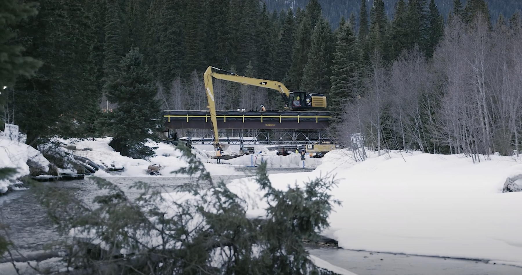
We were built for big things.
Ready to support geomatics and land surveying services for upstream projects.
Geomatics solutions to support ConocoPhillips to safely find and deliver energy to the world.
GeoVerra’s team of professionals is dedicated to supporting ConocoPhillips achieve their vision of being the E&P company of choice for all stakeholders. We’re driven by an entrepreneurial spirit and a relentless work ethic that pushes us to develop advanced and customized solutions and strong performance to our clients. We are aligned with “it’s not what you do, it’s how you do it” and at the core of who we are and what we do is the pride we have in every aspect of our job. From the field to the office, and everything that happens in between, GeoVerra is a team that embraces challenges, diversity, sustainability and aspires to push geomatics.
Our capacity and experience will support ConocoPhillips achieve smart growth as well as a superior return by providing our services efficiency and correctly the first time, every time.
As one of the nation’s largest and most respected geomatics firms, we offer a diverse range of integrated land survey services to oil and gas companies and their service providers.
Our team of licensed land surveyors, project managers, field crews, and CAD technicians have a safety-first mindset, take a collaborative approach, and use innovative tools to provide clients with comprehensive services at any stage of an oil and gas project:
- Preplanning
- Acquisition
- Construction
- Renewals
- Well Sites
- Oil Sands Exploration (OSE)
Upstream Oil & Gas Services:
Projects: From Upstream to Downstream and Everything Inbetween
Well Sites
Our field and office teams are recognized throughout the industry for having the skills and knowhow to safely and efficiently complete well site survey programs in freehold or crown lands. We work together with survey coordinators, land professionals, field consultants, and landowners to provide well site surveys — both conventional and hybrid — whenever and wherever clients need them.
Oil Sands Exploration (OSE)
Our teams have extensive experience supporting OSE programs of any size, from beginning to end. They manage the preliminary planning of well site locations and the access required while identifying potential hazards and producing all maps and documents needed to support applications and third-party agreements. Dedicated OSE field staff survey each well, access road, and crossing for a smooth transition between application and development. When construction and drilling are complete, we prepare the as-built reports required to complete programs for regulations.
Our team consists of forestry professionals and professional agrologists and biologists with decades of project management experience. As a collective with niche expertise, we’re equipped to deliver a full-service bundle of land, environmental, and timber solutions throughout the project lifecycle.
- Wildlife / nest sweeps
- Wetland assessments / Water Act (WAIF or WAIR)
- QAES assessments
- Water Act for borrow pits of impounding water
- Pre / detailed site assessments
- Watercourse crossing monitoring
- Regulatory permitting
- Stakeholder engagement
- Third party agreements
Forestry & Environmental Services
Benefits of Combined Services – Your One-stop Shop

Technologies to do more.
While there will always be a time and place for traditional surveying, GeoVerra embraces technological innovations to advance the industry and support clients in an increasingly data-driven world. By investing in technology year after year, we’re setting a new standard in reality capture and digital transformation.
“Ovintiv and GeoVerra have always had a remarkable working relationship, and I’ve known some of their employees for over 15 years now! We appreciate their responsiveness, proactive attitudes, and the fact that they are on top of current regulatory requirements. I would not hesitate to recommend their services.”– Dana Underwood, Senior Surface Land Coordinator, Ovintiv
“The quality of GeoVerra’s application, DSA, and aerial photo review were exceptional! It was very easy to read and follow. Thank you for providing such high-quality work!”– Nicole Koscielny, Reclamation Assessor, Alberta Energy Regulator
“We want to recognize this phenomenal team onsite and their commitment to personal safety as well as reinforcing safety responsibilities to the Prime Contractor.”– Lucy Wan, Coastal GasLink Pipeline, TC Energy
“Ovintiv and GeoVerra have always had a remarkable working relationship, and I’ve known some of their employees for over 15 years now! We appreciate their responsiveness, proactive attitudes, and the fact that they are on top of current regulatory requirements. I would not hesitate to recommend their services.”– Dana Underwood, Senior Surface Land Coordinator, Ovintiv

